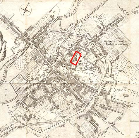
Late 18th c. map of Canterbury highlighting the location of the Great Hall of the archbishop's palace.
Hasted, History of Kent vol 11 facing 1
Late 18th c. map of Canterbury highlighting the location of the Great Hall of the archbishop's palace.