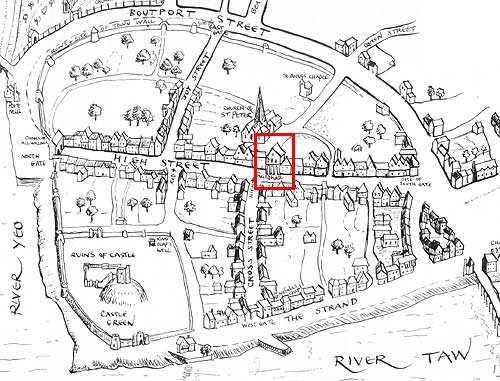
Map of 16th c. Barnstaple highlighting the second guildhall on the High Street.
Used by kind permission of North Devon Athenaeum, Tuly Street, Barnstaple, Devon.
North Devon Athenaeum: 67/47j
Map of 16th c. Barnstaple highlighting the second guildhall on the High Street.
Used by kind permission of North Devon Athenaeum, Tuly Street, Barnstaple, Devon.