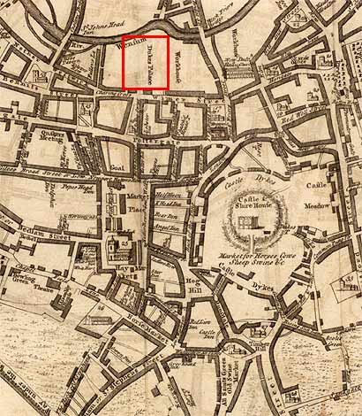
Mid-18th c. map of Norwich highlighting the approximate location of the Duke of Norfolk's Palace.
Cartographer: Samuel King
Courtesy of the Thomas Fisher Rare Book Library, University of Toronto.
History of Norwich 2 (frontispiece)
Mid-18th c. map of Norwich highlighting the approximate location of the Duke of Norfolk's Palace.
Cartographer: Samuel King
Courtesy of the Thomas Fisher Rare Book Library, University of Toronto.