Edited by
Beth Zdriluk, 10-Sep-08; Beth Zdriluk, 08-Nov-08;
View Group
Description
Image

Thumbnail
Textual Description
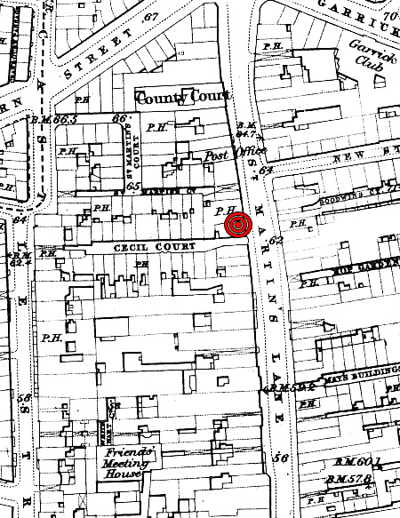
<center>Old Ordnance Survey Maps - The West End, 1870. The Godfrey Edition. Published by Alan Godfrey Maps. Leadgate, Consett.<br><br>
For a full antiquarian map of London, showing this venue & others, <a href="http://www.utm.utoronto.ca/~w3minstr/AntiquarianMaps/London1843.html">Click Here</a>.
</center>
For a full antiquarian map of London, showing this venue & others, <a href="http://www.utm.utoronto.ca/~w3minstr/AntiquarianMaps/London1843.html">Click Here</a>.
</center>

