Antiquarian Maps
Follow the links below to access period cartography of some of the cities visited by blackface performers in the mid-19th Century. These maps plot the location of known minstrelsy-related venues, and provide links to the venue detail pages for these sites, at which more information can be found. In compiling these maps, an effort has been made to represent those cities which appear most frequently as the site of blackface performance in this database. As such, maps have been provided for: London – the city with the largest number of venues at which blackface performance occurred; Liverpool - the most common point of entry for American minstrels visiting the U.K.; and five cities for which Kathleen Barker researched so comprehensively the performances of the mid-19th century, providing an extraordinary resource for this project.
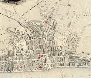 |
Brighton (1852)Image Courtesy Brighton History Centre Acquisition & Research: Paul Babiak. Web Preparation: Beth Marquis |
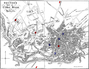 |
Bristol (1854)Bolton's Map of Clifton, Bristol, and Hotwells. Image Courtesy Bristol Reference Library, Local Studies Department. Acquisition & Research: Paul Babiak. Web Preparation: Beth Marquis |
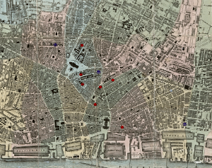 |
Liverpool (1847)Bennison's Map of Liverpool. Image Courtesy Liverpool Record Office, Liverpool Libraries. Acquisition & Research: Paul Babiak. Web Preparation: Beth Marquis. |
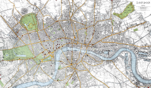 |
London (1843)A Street Map of London, 1843. Published by Old House Books. Moretonhampstead, Devon. Web Preparation: Beth Marquis |
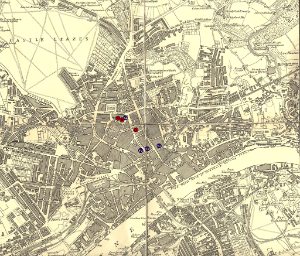 |
Newcastle (1858)Image Courtesy Newcastle Libraries Information and Lifelong Learning Service. Acquisition & Research: Paul Babiak. Web Preparation: Beth Marquis |
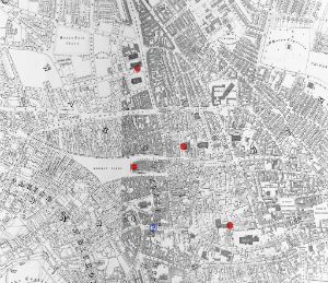 |
Nottingham (1861)Salmon's Plan of Nottingham & its Environs. Image Courtesy Manuscripts & Special Collections, University of Nottingham. Acquisition & Research: Paul Babiak. Web Preparation: Beth Marquis |
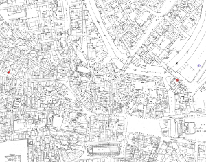 |
Sheffield 1853 (Part 1)Image Courtesy Sheffield Central Library, Local Studies Department Acquisition & Research: Paul Babiak. Web Preparation: Beth Marquis |
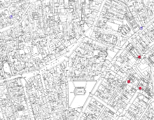 |
Sheffield 1853 (Part 2)Image Courtesy Sheffield Central Library, Local Studies Department Acquisition & Research: Paul Babiak. Web Preparation: Beth Marquis |
Interactive Maps
This map is integrated with the the database, so that numbers of venues with advertised events in any search will be located, and researchers can have a clear and immediate view of how a troupe, performer, or even song or 'act' travelled around the country. One of the premises of this project was that itinerant performers were both the most influential purveyors of culture in an age before electronic mass media, and the most easily lost to history because their records were scattered to the winds.... As with so much of this project, of course, the more records we could find, the more useful this resource might be, and further work might be done by future researchers.
